Thanks to the new 3D SCAN and digital reassembly technologies, RNI can scan the components of your choice
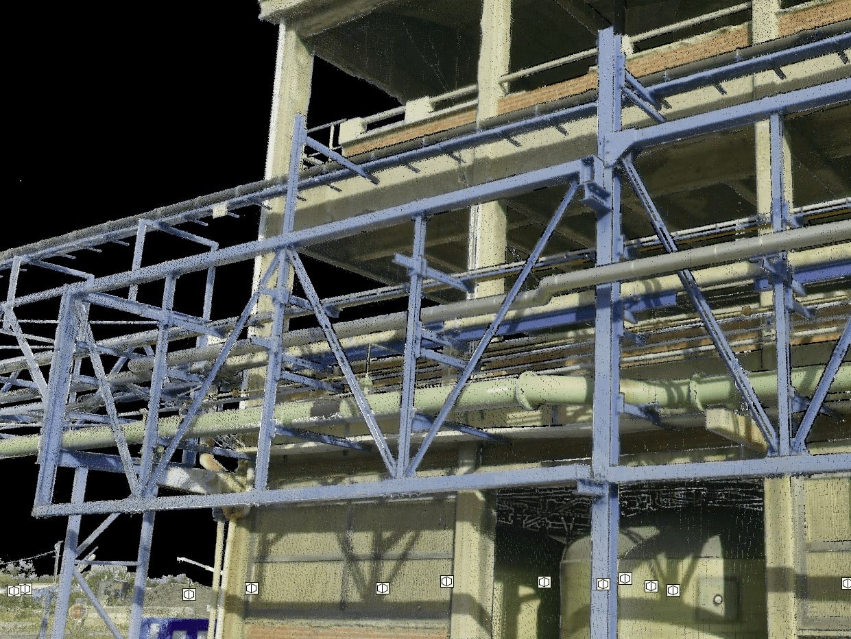
You will then have a 360° view of your installation, digitised on your CAD design tool
Advantages:
The first advantage of the 3D scanner is that it allows you to compare your current installation with the desired installation during the equipment sizing phase. It allows you to check the volumes, the available space and, more generally, the technical feasibility of the project.
It also offers :
- Rapid measurement
- Versatility, since it can measure objects with complex shapes
- Accuracy
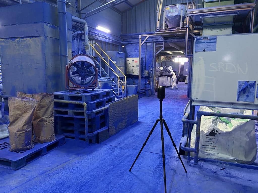
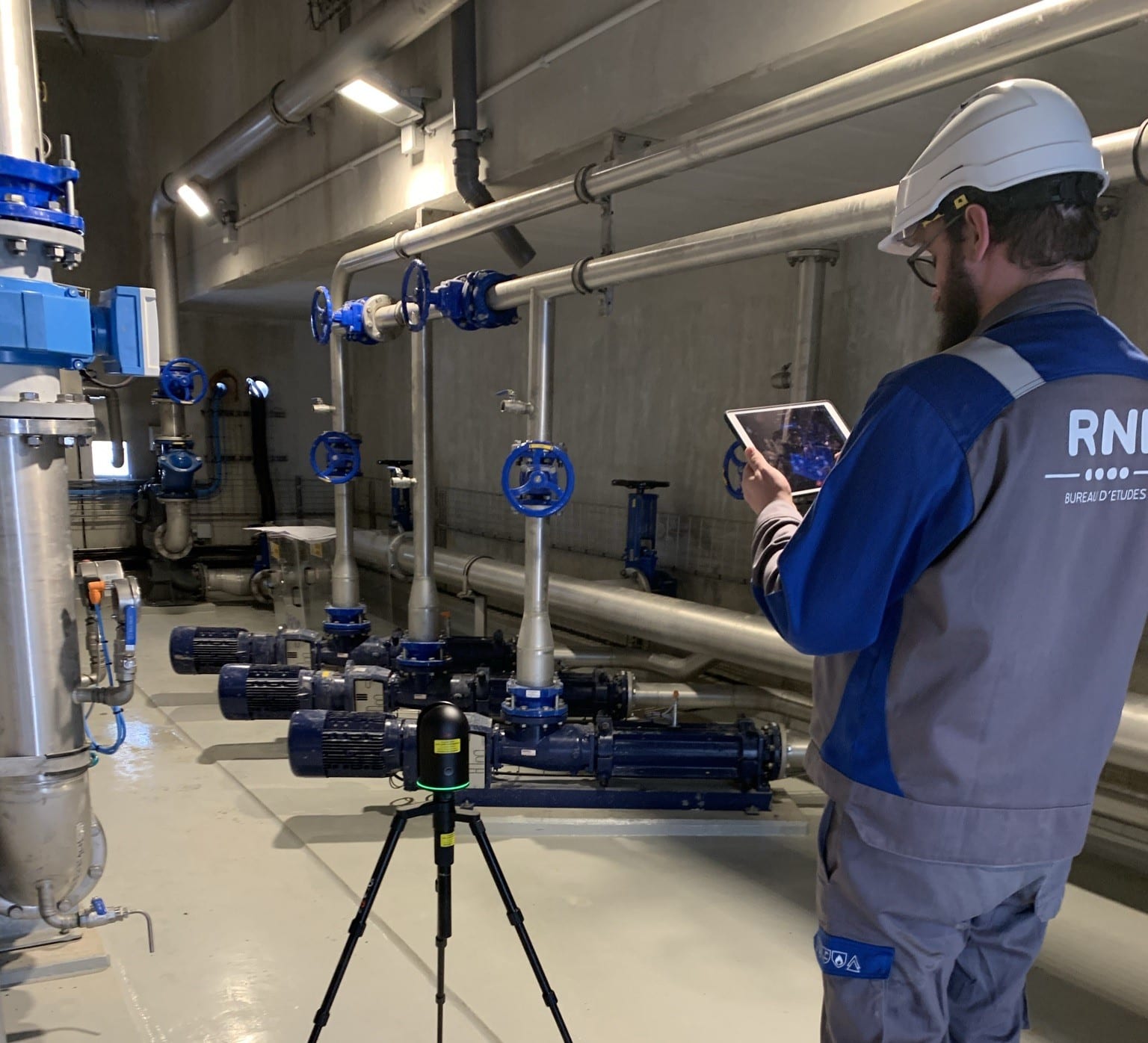
We use a Leica BLK 360
Performances
- Data acquisition
- 3D point accuracy
- Context of use
Data acquisition
- Less than 20 seconds for full dome scan and spherical LDR image for 50 mm resolution at 10 m with automatic tilt measurements.
3D point accuracy
- 4 mm @ 10 m
- Real-time pre-assembly
- Automatic point cloud alignment based on real-time tracking of scanner movement between stations based on the Visual Inertial System (VIS)
- A complete 360° scan can be completed in a matter of minutes, an entire industrial site in a matter of days.
- Tablet + Cyclone Field 360 Interface Software
Context of use
- Decision-making support (investment, installation and renovation projects)
- Support for maintenance teams
- Workshop digitisation
The different stage of scanning
Stage 1 – Preparing/defining the requirement
We discuss your requirements with you, which can range from a simple workshop visualisation with a few measurements to discuss the layout of future equipment without having to visit the site, to the complete detailed re-modelling of a piece of equipment.
This exchange will enable us to define
– Point accuracy
– Cloud density
– The number of stations (survey locations)
– The order of the stations
– Whether or not a photo is required
Stage 2 – On-site intervention
Once the various reception and safety formalities have been completed, our technician is autonomous. The equipment can be moved and handled by a single person.
Health and safety risks are very low, so there is generally no need to stop production or traffic.
Intervention time will depend on the environment, the level of detail required and the size of the area.
Stage 3 – Point cloud processing
We assemble the various stations surveyed and then clean up the point cloud by deleting unnecessary data.
Stage 4 – Delivery
The resulting cloud of points can be supplied in a variety of formats (RCP, E57, etc.). It can also be re-modelled in whole or in part, using your CAD software, by our design office.
